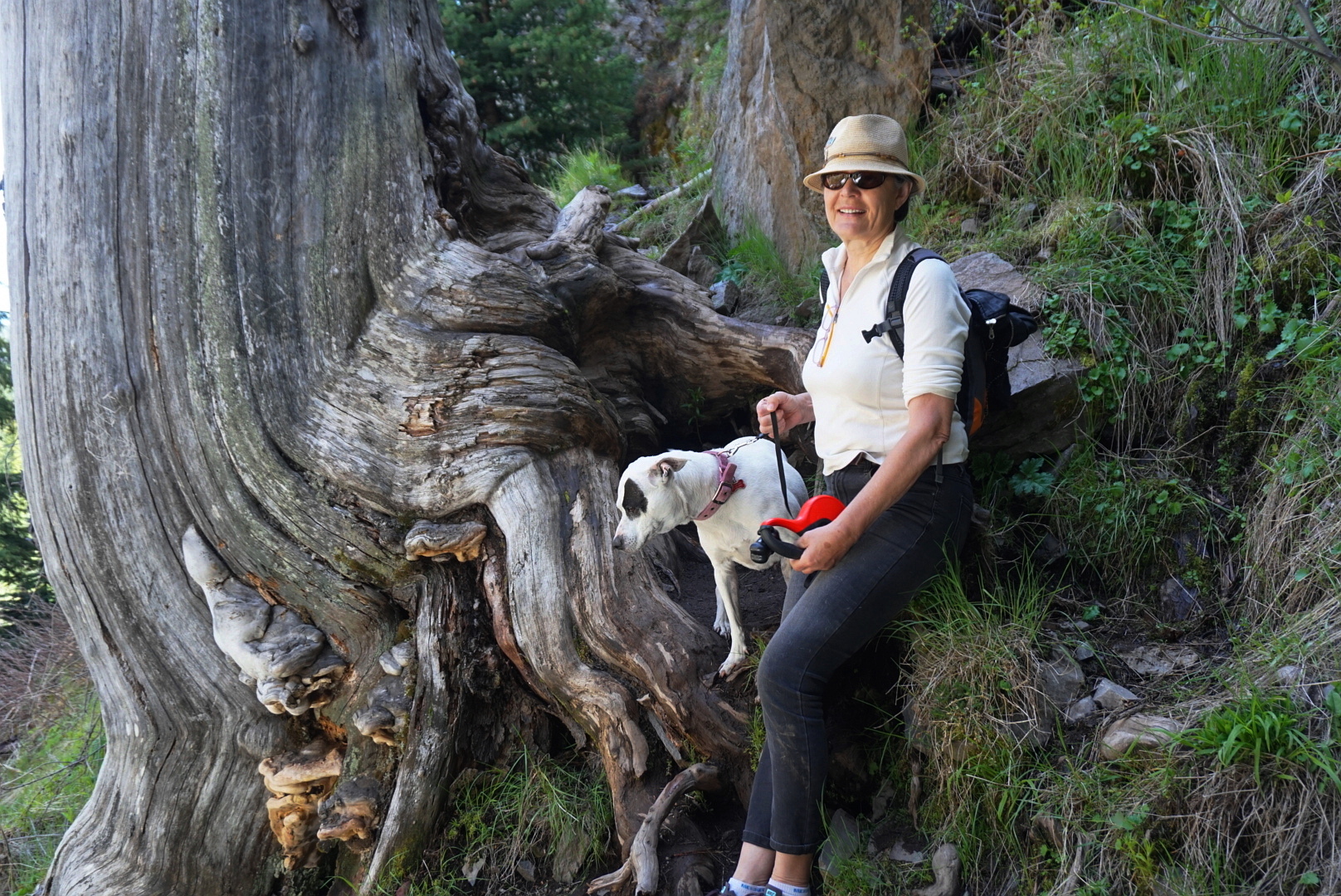
Trail description:
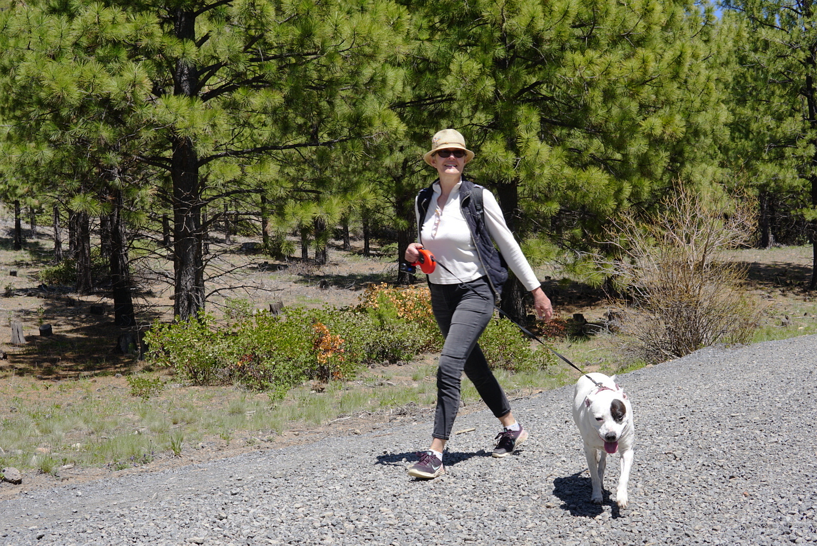
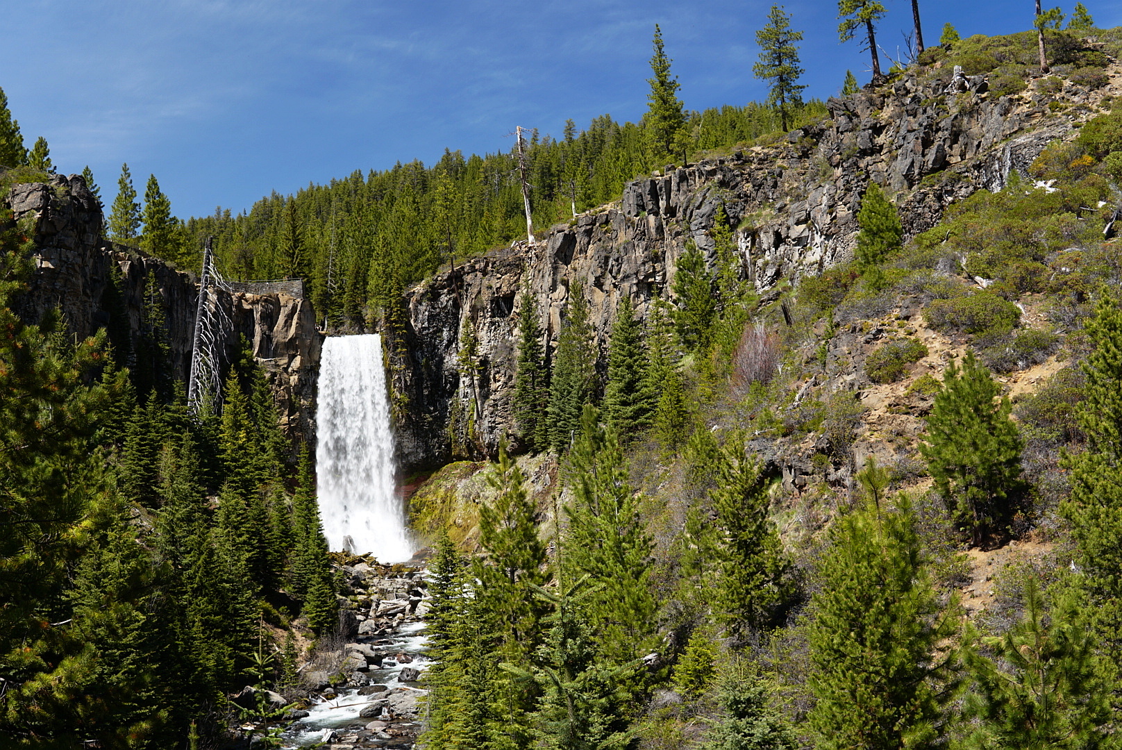
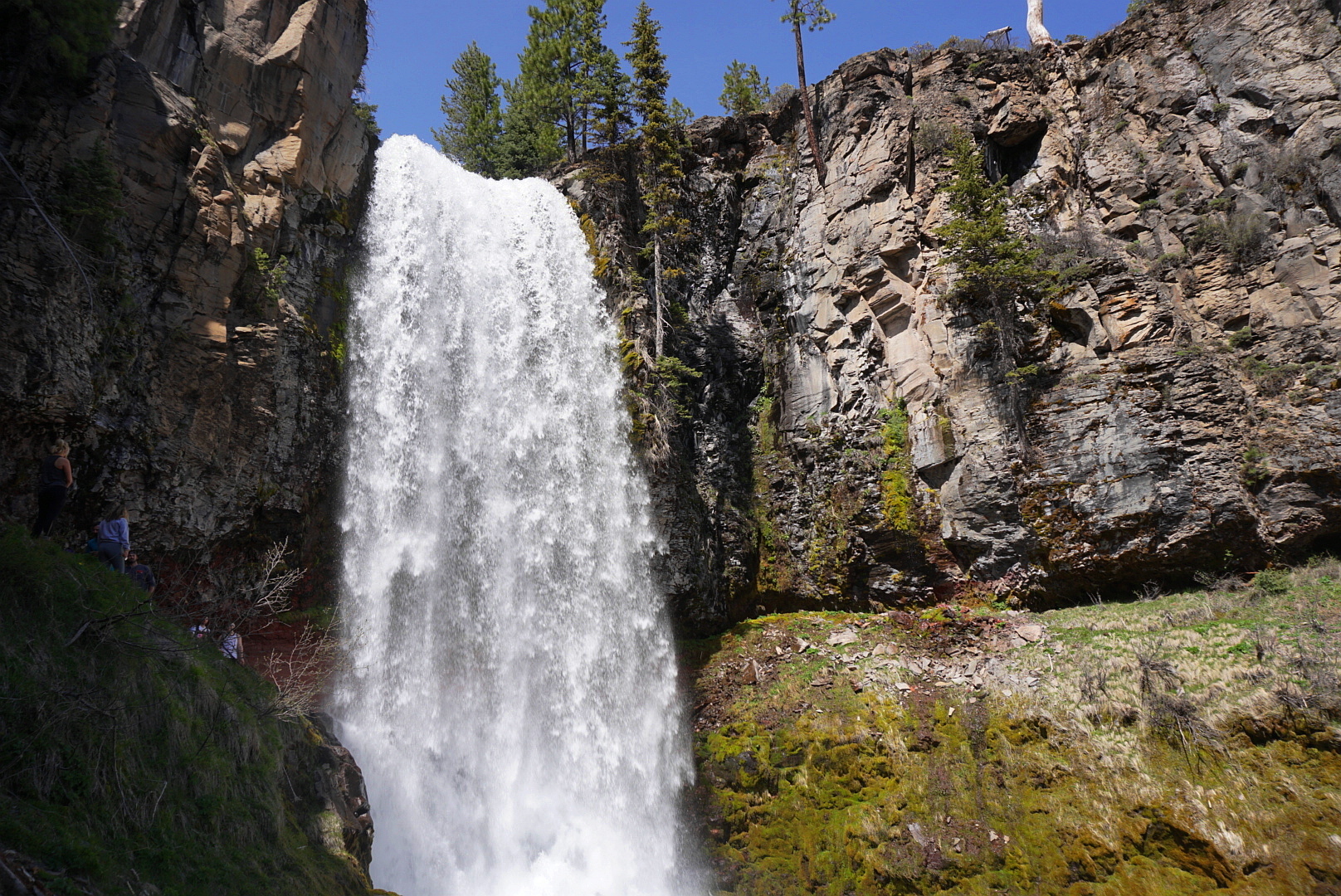
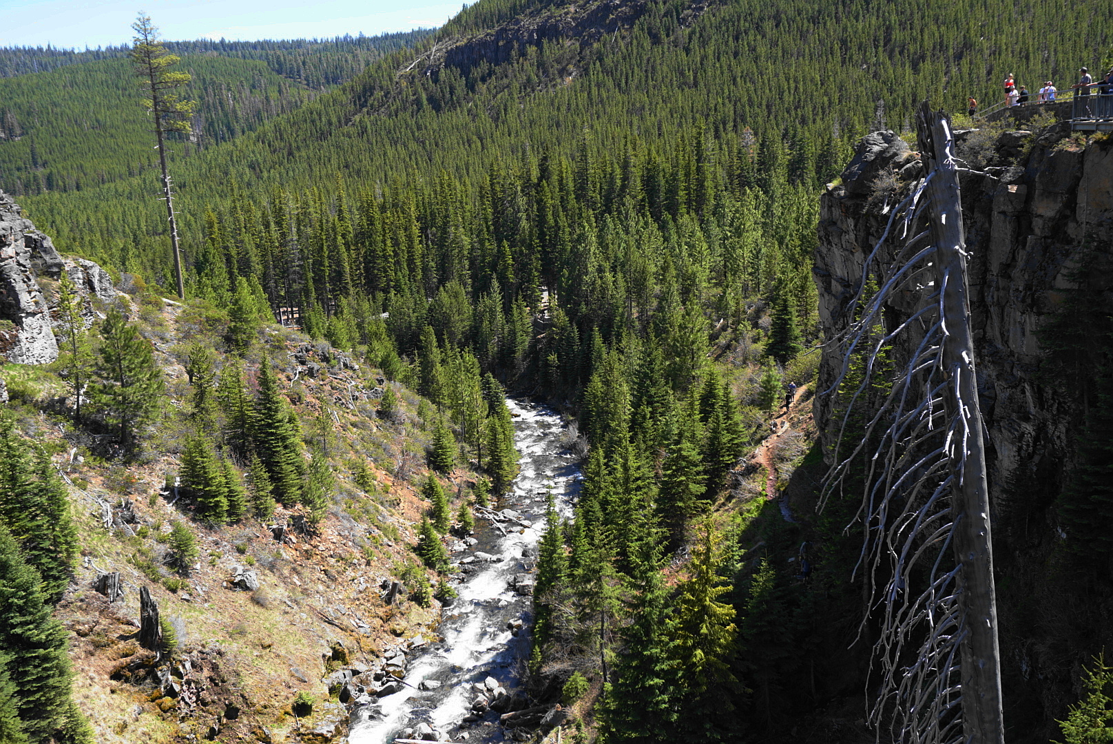
It’s hard to believe the top of this loop is less than a mile from the Three Sisters Wilderness. You’ll begin this hike in a jammed parking lot, and the first spectacular view is right at hand: 90-foot Tumalo Falls pouring over a basalt ledge. The North Fork Trail carries you up the creek, and the crowds begin to wear off as you gradually climb higher. The waterfall display doesn’t fade, however, and several other pretty cascades tumble and splash before you peel off up the Middle Fork Tumalo Creek, where there are yet more waterfalls, none of them officially named. After the last waterfall, Middle Fork Tumalo Falls, you could turn back and enjoy the display in reverse. However, a loop back to the trailhead across the City of Bend Watershed is almost equidistant and free of the crowds. Dogs and cyclists are also banned from this loop. It’s not as scenic, but the final leg takes you down Bridge Creek and past one more waterfall. Families with small children can walk up the North Fork Trail as far as Double Falls and then turn around. Watch for cyclists coming up the trail!
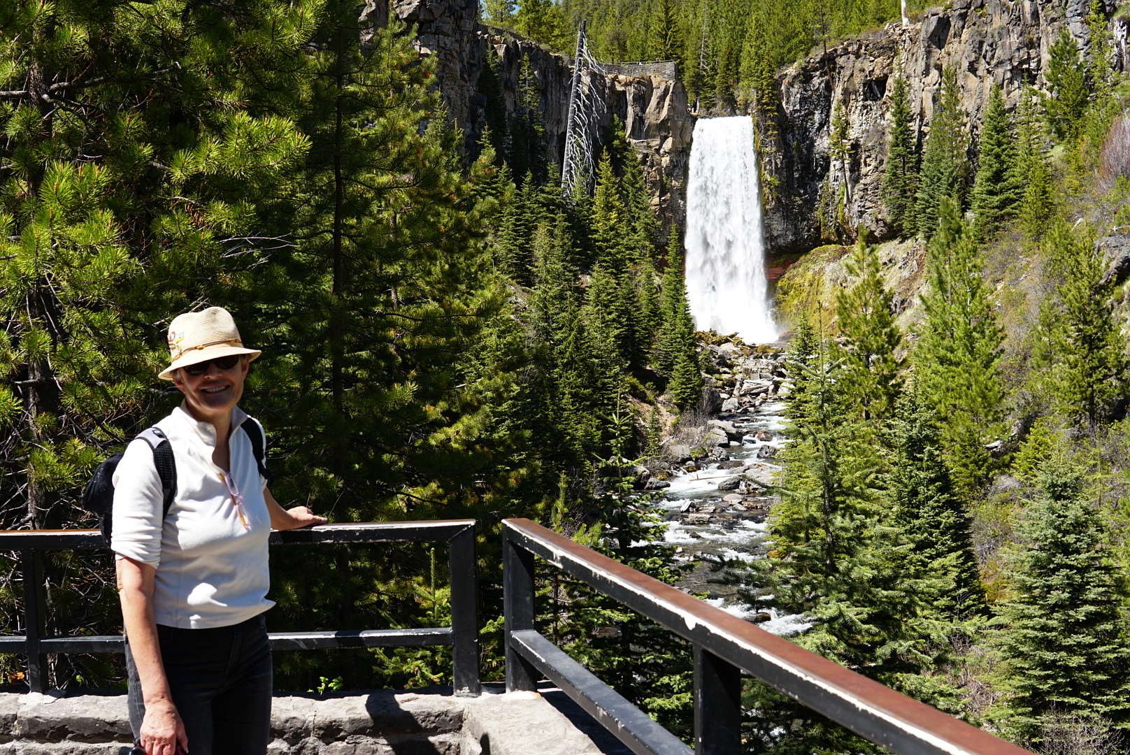
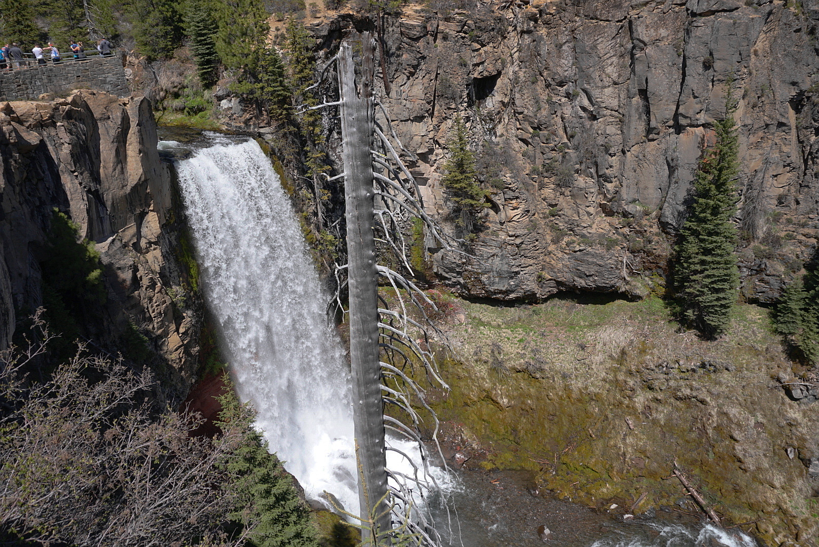
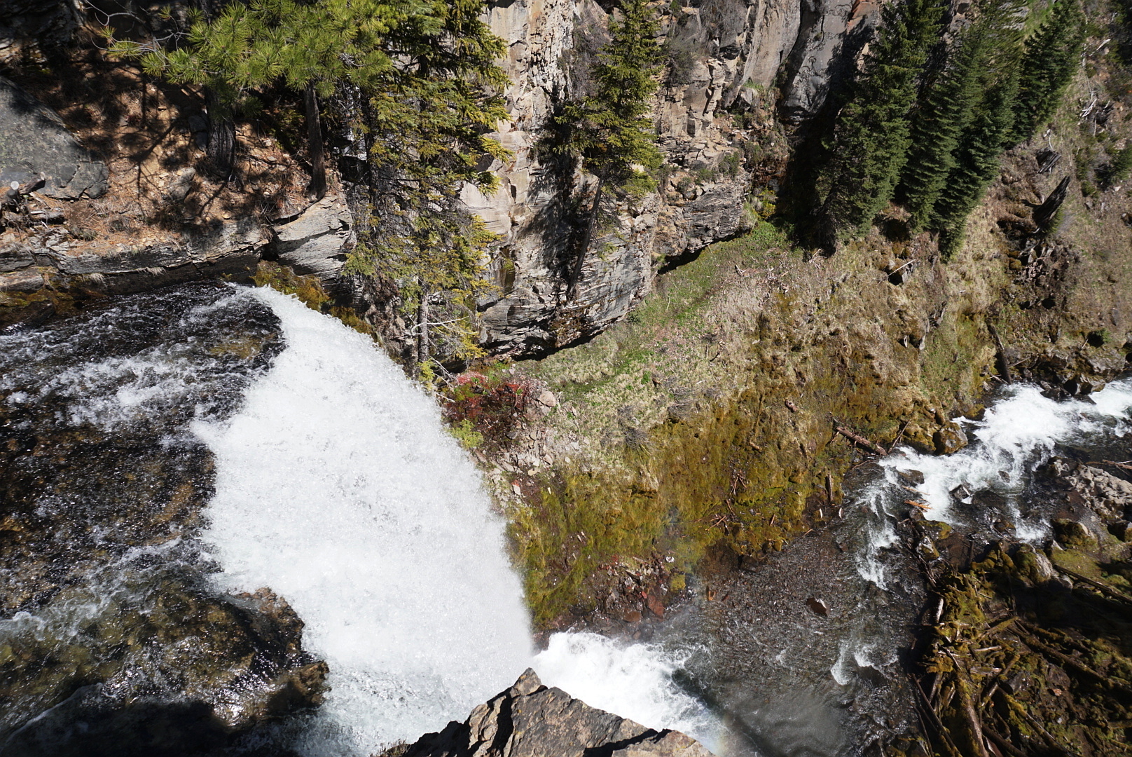
From the parking area, walk up to the first viewpoint towards Tumalo Falls, one of the most photogenic in the state. The forest around here was completely burned in the 1979 Bridge Creek Fire, and nearby interpretive signs tell of the lessons learned from that conflagration. Hike up the North Fork Trail through sweet smelling snow brush under ponderosa pines. Note that mountain bikers are also permitted to ascend the North Fork Trail as part of a one way loop. Pass the North Fork-Bridge Creek Trail Junction at a fence on the boundary of the Bend Watershed. Keep up the main trail, getting a side view of Tumalo Falls, to reach a walled overlook above the lip of the waterfall.
Follow the wall around to get views up Tumalo Creek. Rejoin the North Fork Trail, and hike into a mountain hemlock, Engelmann spruce, lodgepole pine forest. The trail moves farther away from the creek in a dense wood. From a viewpoint, you’ll get a head on view of the lowest two tiers of pretty Double Falls. A little higher up, there’s another good viewpoint of the three upper tiers of Double Falls. Keep hiking up near Tumalo Creek in a montane forest to a viewpoint to Middle Tumalo Falls, which are partially obscured by trees. Then pass above a big log jam on the creek, and cross a footbridge below a small spring.
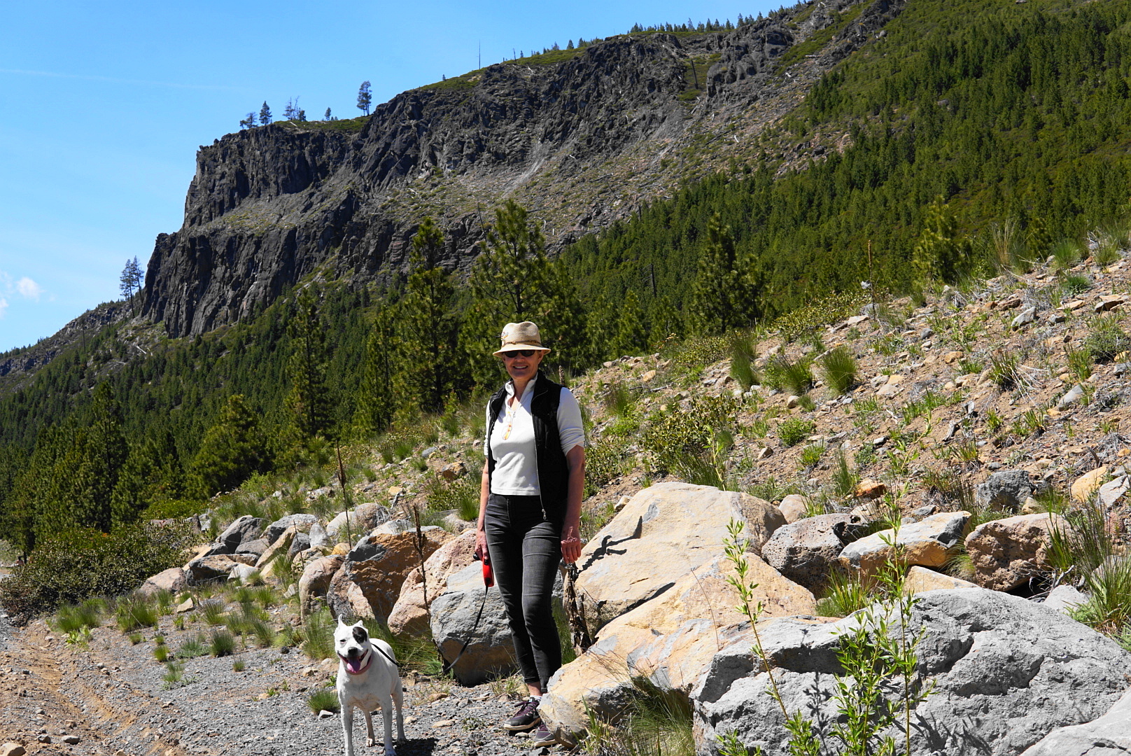
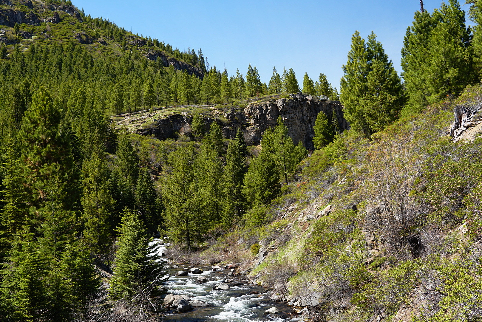
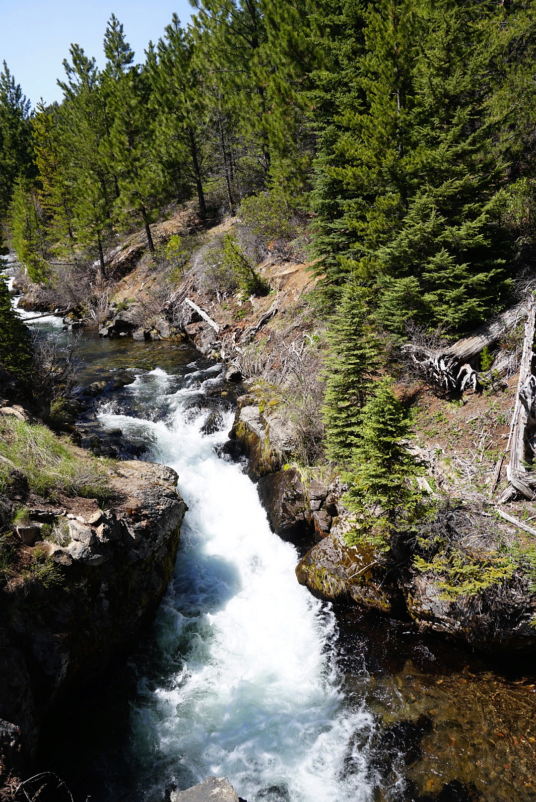
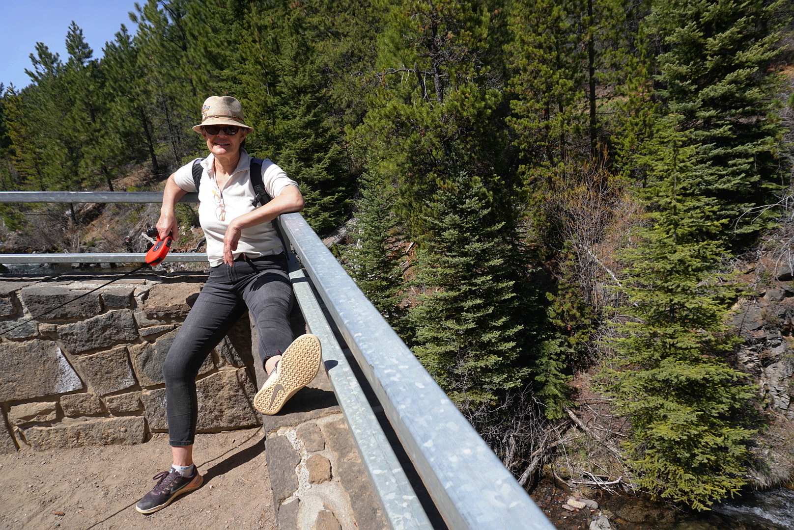
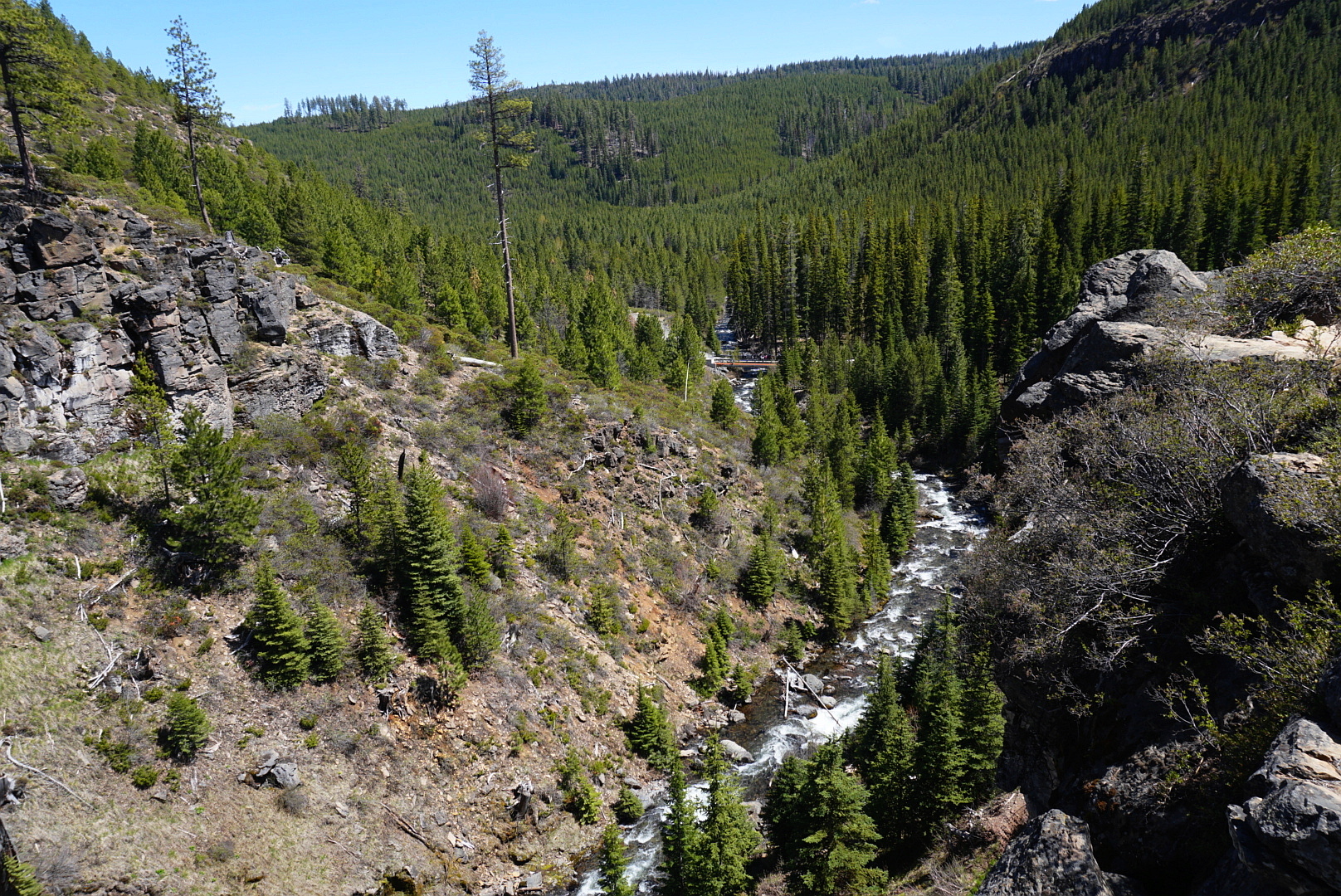
You’re now ascending the Middle Fork Tumalo Creek, an impressive stream in its own right with a powerful flow of melt and spring water carried from the vicinity of Broken Top via the Crater Creek Ditch, which steals meltwater from Broken Top’s south cirque and the Crook Glacier. Cross the Middle Fork Tumalo Creek on a one log railed footbridge, and switchback up to get glimpses of the distant Lower North Fork Tumalo Falls on the North Fork Tumalo Creek. Continuing up the Middle Fork now, you’ll see a log-jammed waterfall, and then walk along a short boardwalk. Switchback up twice to a couple of viewpoints over Lower Middle Fork Tumalo Falls. Loop up in a forest of mountain hemlock to view more cascades on the creek. Then get a sighting of 53-foot Middle Fork Tumalo Falls, an impressive block waterfall of two drops. Keep heading up, and then make a traverse to the North Fork-Swampy Lakes Trail Junction.
If you’re making the loop, go left here. Hike gently up, and then descend through a dry wood with lots of blowdown. Reach the Middle Fork Tumalo Creek again, and cross it on a log. Pass along a slope of young mountain hemlocks with views of the Tumalo Creek drainage to the left. Western white pine, Engelmann spruce, and lodgepole pine also enter the conifer mix here. Enter the City of Bend Watershed (No dogs or bicycles allowed): There’s a permit box where you need to sign in. The trail begins a gradual descent, and follows Spring Creek for a short distance before crossing it. Continue to descend until the path levels in a series of small glades, and reach the first Swampy Lakes-Bridge Creek Trail Junction.
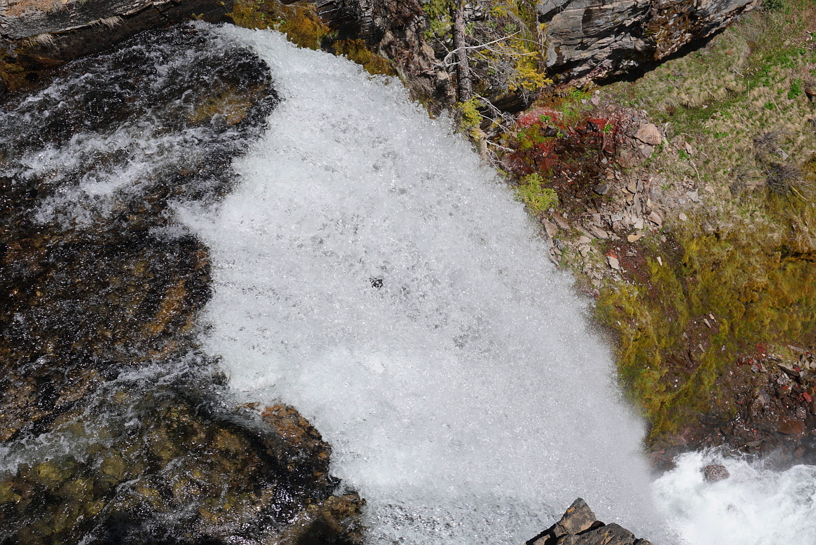
Make a left, and hike down Bridge Creek to the second Swampy Lakes-Bridge Creek Trail Junction, where the Swampy Lakes Trail crosses Bridge Creek on a footbridge (It’s 4.4 miles from here to the Swampy Lakes SnoPark). Soon, a spur to the right leads you to a view of 25-foot Bridge Creek Falls. Cross Spring Creek on a log, and get another view to Bridge Creek Falls. Keep heading down along the Bridge Creek Canyon among manzanita and snow brush – both species have flourished here since the Bridge Creek Fire. Ponderosa pines are the main conifer. You’ll pass above a small meadow and see some rushing cascades on the creek. Reach the kiosk and permit box above intake facilities down near the creek. Come to the North Fork-Bridge Creek Trail Junction, and head right to descend to your vehicle.