The hike to Avalanche Lake in Glacier National Park begins from the Trail of the Cedars Trailhead, located 5.5 miles east of the Lake McDonald Lodge.
The Trail of the Cedars, a wheelchair accessible trail, is a loop hike that begins and ends along the Going-to-the-Sun Road. Although the western segment of the loop is slightly shorter, the eastern side is far more scenic. Hikers on the eastern portion of the loop travel along a raised boardwalk as they pass through a forest of ancient western hemlocks and red cedars. Situated on the eastern edge of the maritime climate of the Pacific Northwest, the Lake McDonald Valley also marks the extreme eastern limits for these trees. The humidity in this valley allows the cedars to grow to heights of 100 feet, and diameters of 4 to 7 feet. Some of the trees in this area are more than 500 years old.
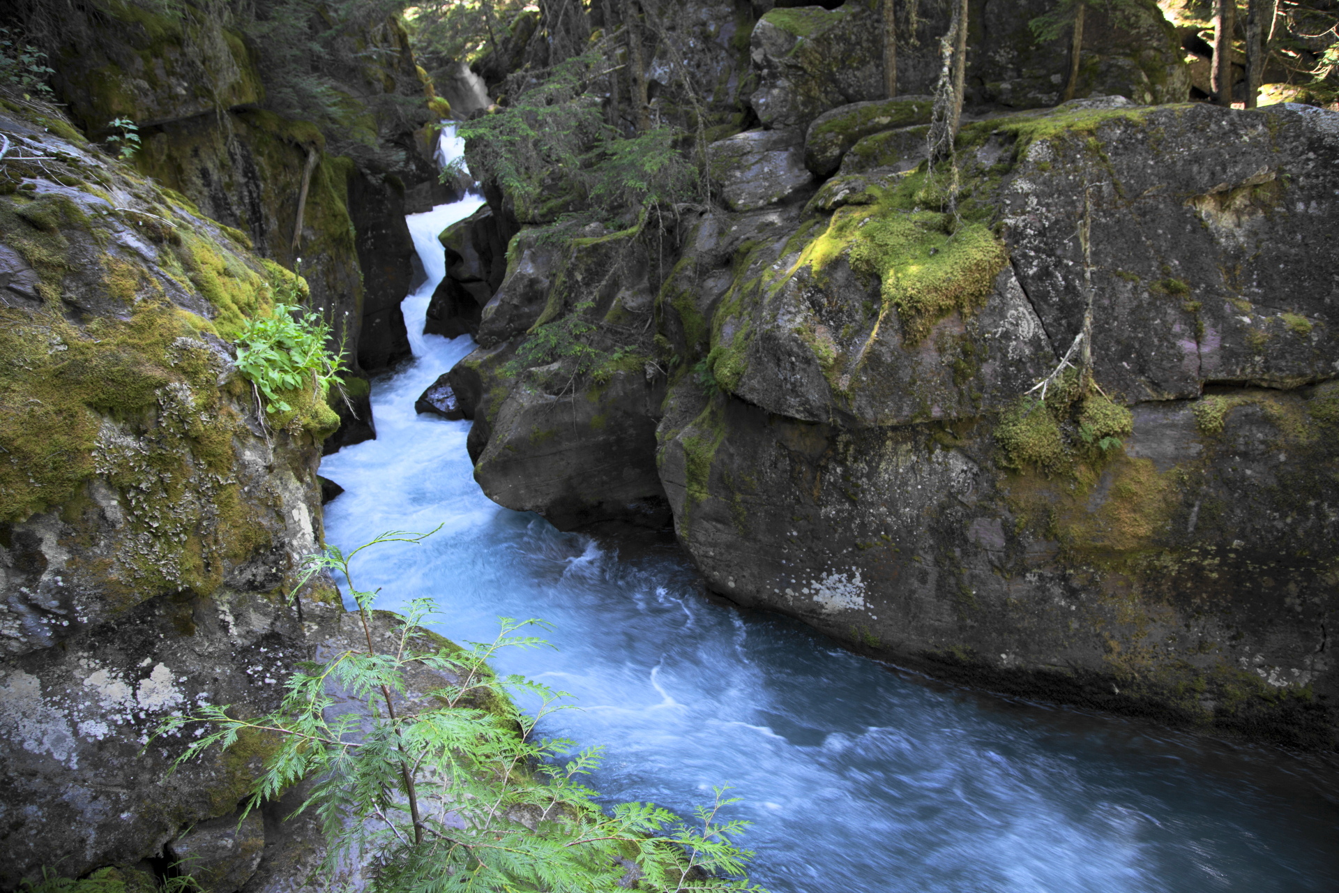
Avalanche GorgeLook closely and you’ll also notice the lush green of ferns and mosses growing along the forest floor. The boardwalk along this portion of the loop encourages visitors to take their time as they pass through habitat more normally found on the Pacific Coast.
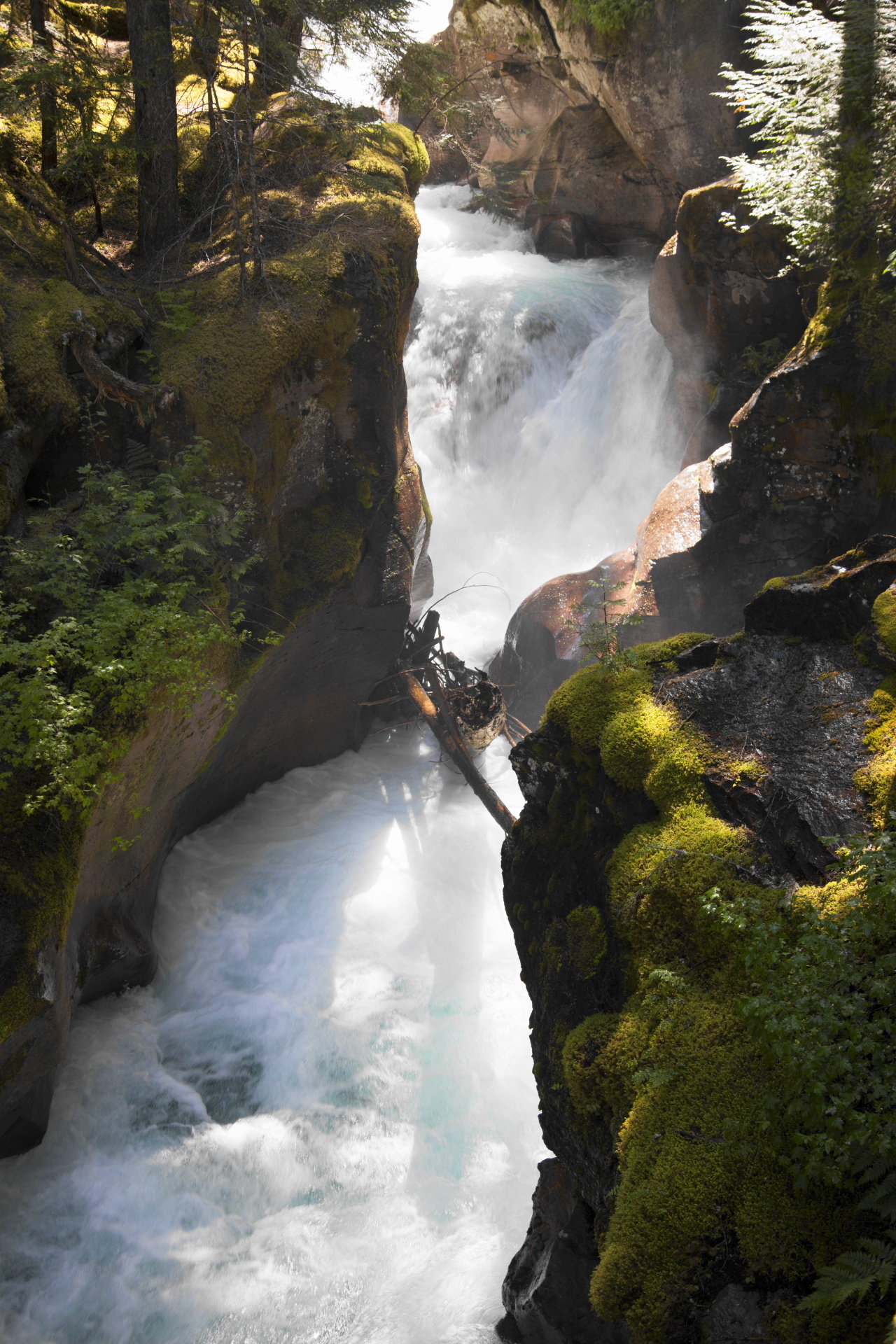
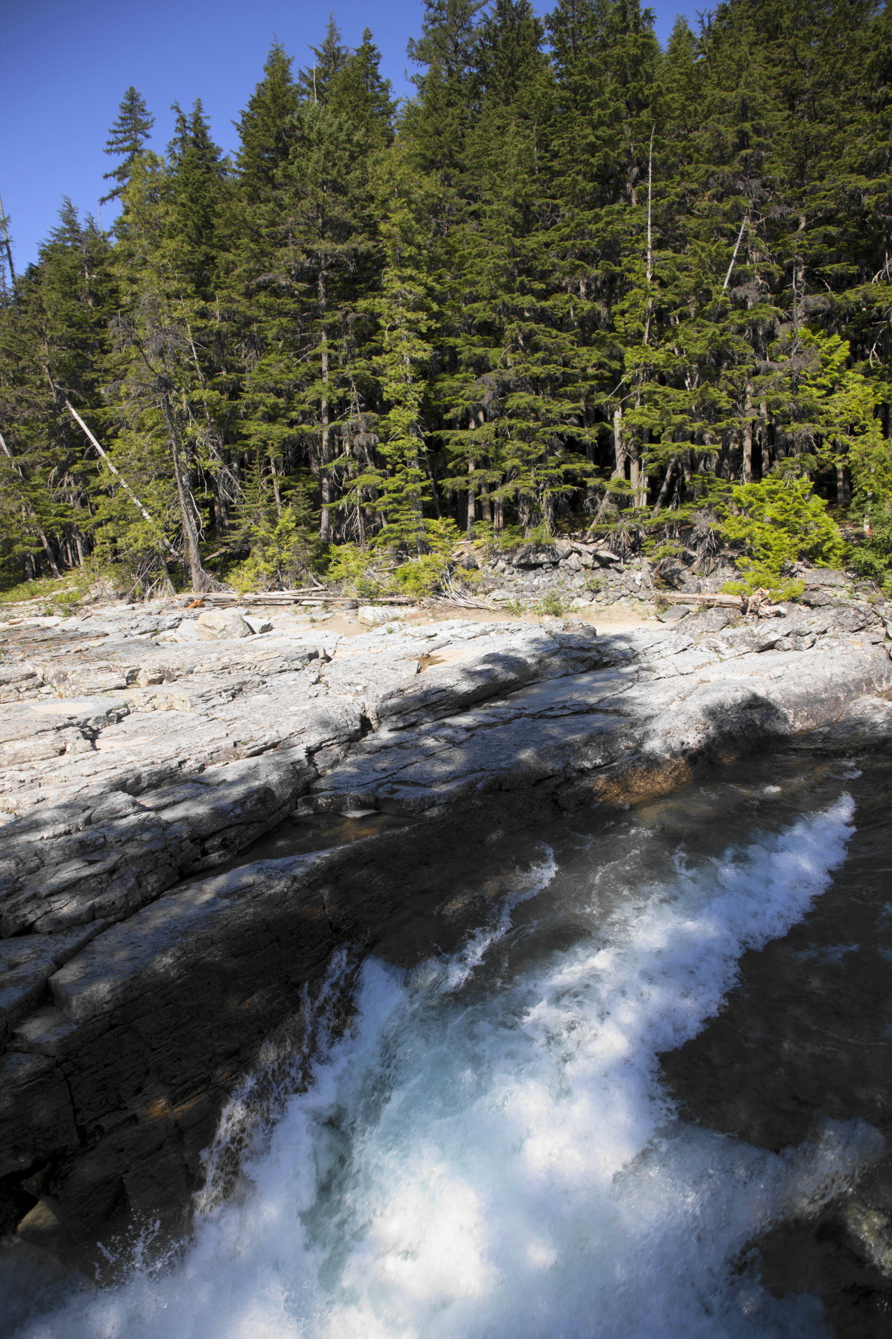
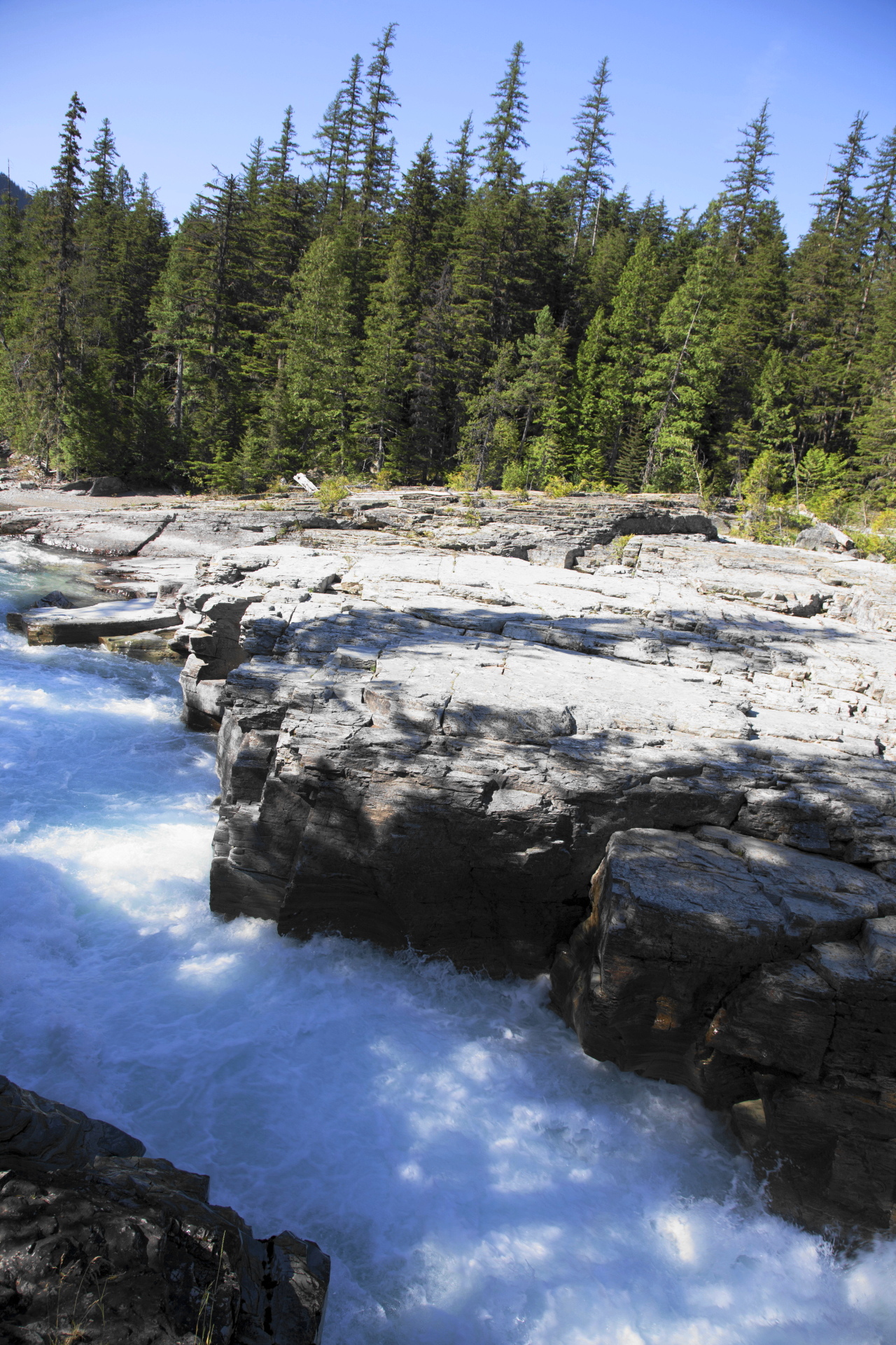
Roughly one-half mile from the trailhead hikers will reach a footbridge that spans Avalanche Creek and provides a commanding view of the lower Avalanche Gorge, one of the highlights along this stretch of the trail. Just past this point is the Avalanche Lake Trail junction.
After turning left onto the Avalanche Lake Trail hikers will immediately encounter a short, but steep climb. As you proceed up the rise look towards your right and you’ll notice a very dense forest. In less than a tenth-of-a-mile you’ll arrive at the banks of Avalanche Creek. Here you’ll have an up-close view of the amazing power of glacially melted water as it rushes through the narrow gorge.
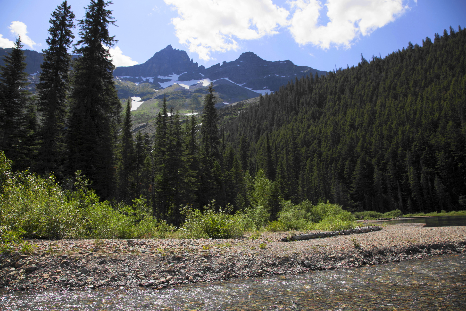
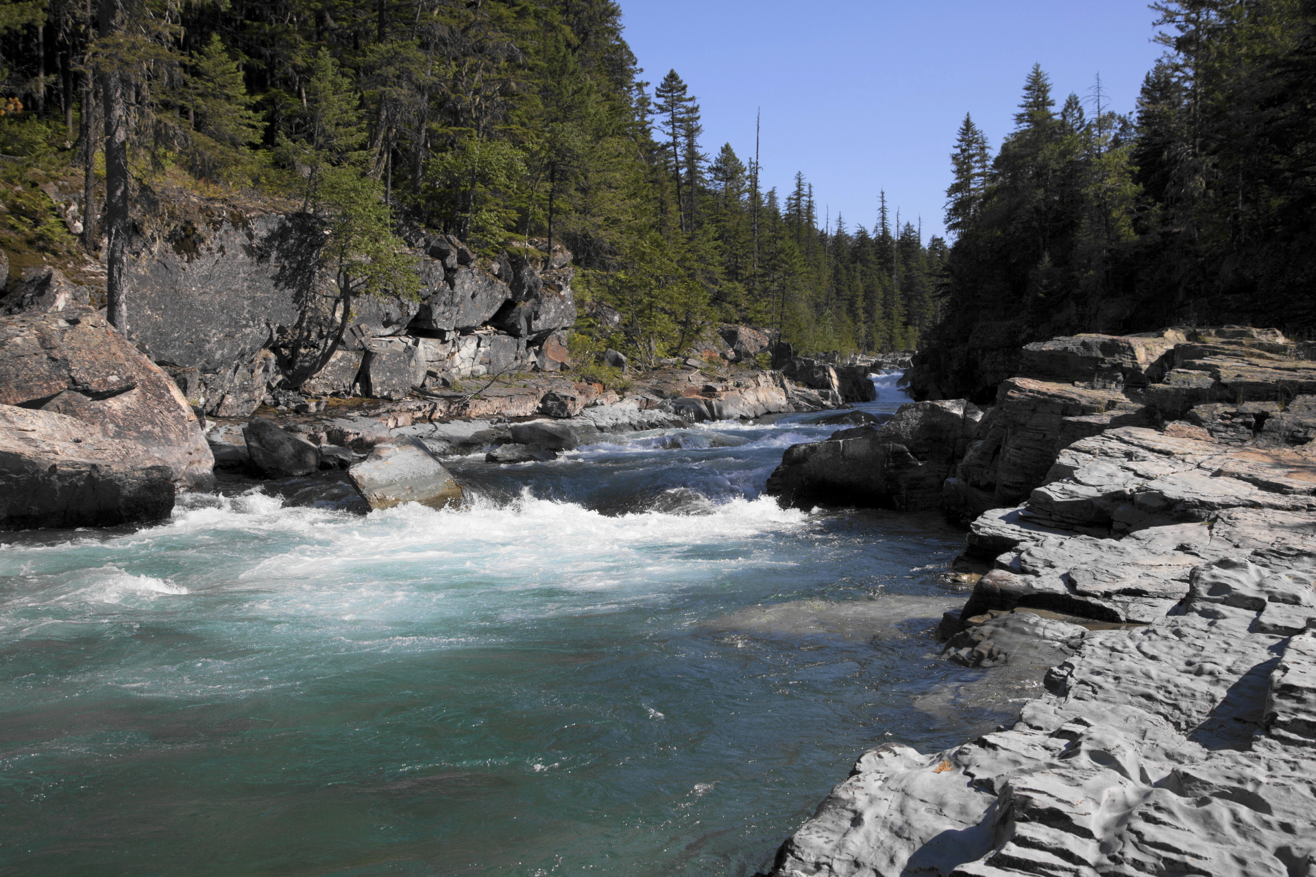
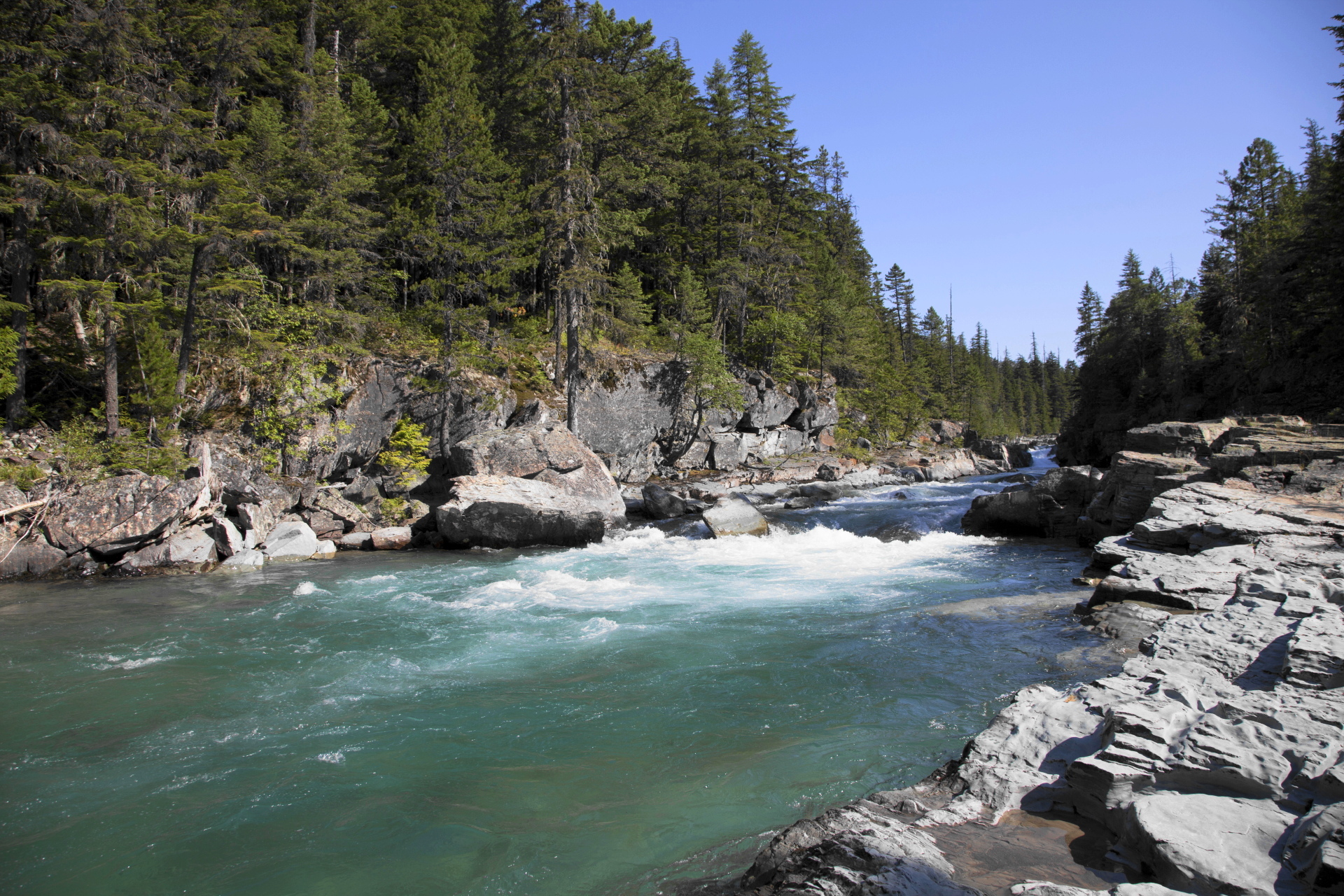
At roughly 1.1 miles the trail departs from Avalanche Creek. Although no longer in direct contact, the trail continues to loosely follow the creek up to the lake. Though hikers will no longer be able to see the stream, you’ll still be able to hear the rush of cascading water for the remainder of your hike.
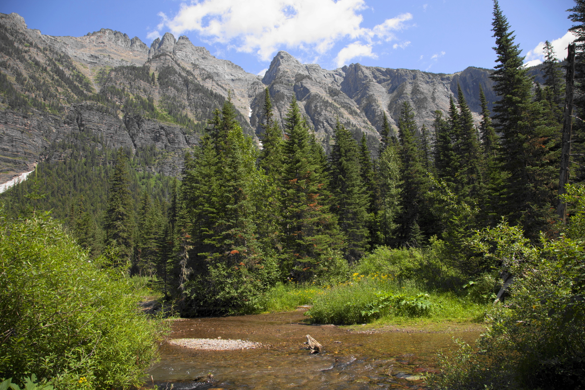
Upon reaching the confluence of Hidden Creek and Avalanche Creek, roughly 1.6 miles from the Going-to-the-Sun Road, hikers will find hundreds of downed trees, the result of recent avalanches that thundered down the southern slopes of Mt. Cannon.
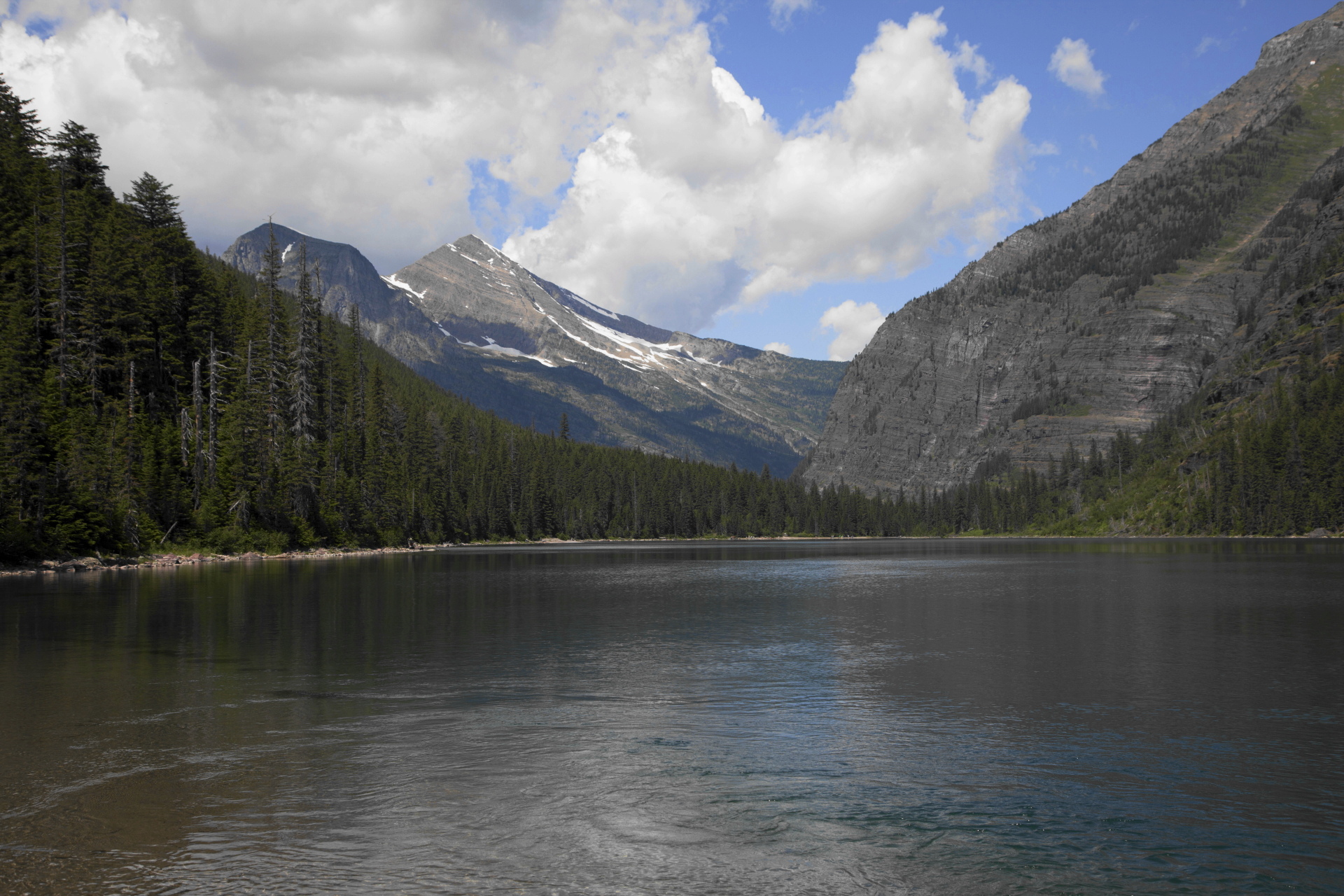
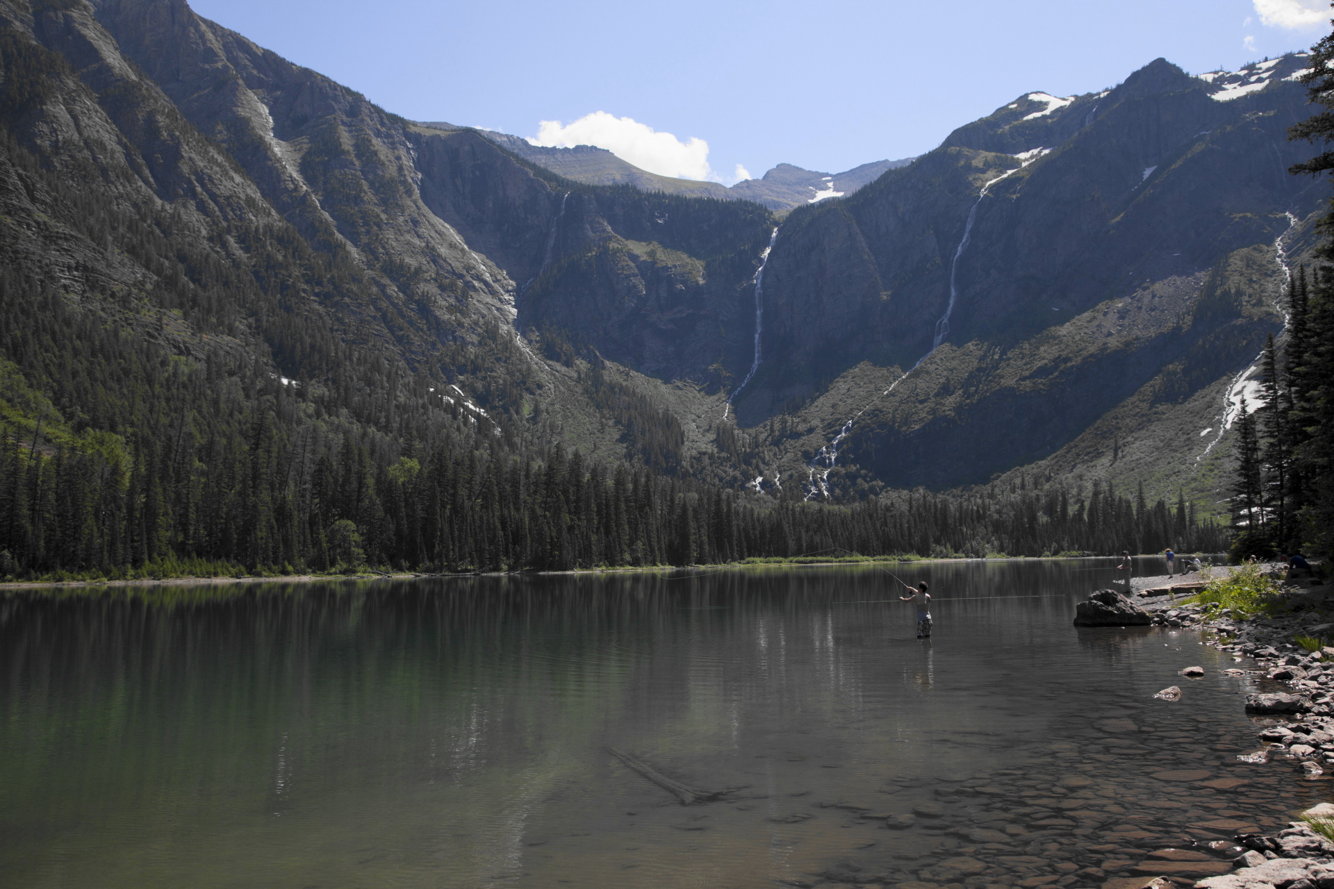
At 2.3 miles hikers will finally reach the foot of Avalanche Lake. A short distance away is a large beach area that provides plenty of space to soak-in the magnificent scenery. You’ll also find several make-shift benches to rest on as well.